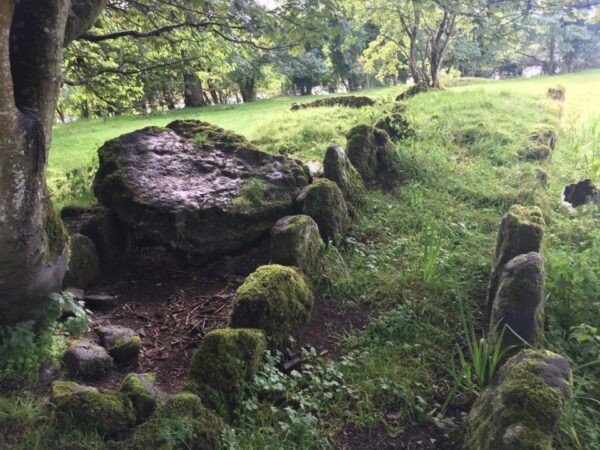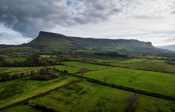
In 2008, Archaeologist Faith Bailey identified four possible boulder burial stones were identified on a north-facing slope in Kintogher townland, at the far end of the Branley’s Yard Nature Trail. Possibly dating to the middle to late Bronze Age, boulder burials consist of megalithic size stones set on top of three or four smaller supporting stone and three of the four boulder burials found here are of this nature. Two large standing stones were also identified in this area, the largest approximately 2.2m in height, the smaller 1.2m. Such burial sites are rare in this region and little is known about this particular site, which faces Benbulben mountain on land that, prior to land drainage and reclamation, would originally have formed part of the Drumcliffe Estuary shoreline.
Similar Posts
Drumcliffe Monastery
The monastery at Drumcliffe was in existence for almost a thousand years, from 575CE until the end of the 16th century. For most of this time, up until its dissolution, Drumcliffe was a Columban monastery. Plundered repeatedly He appointed St Thorian (Mothorain) to be the first abbot (Gwynn and Hadcock 1970, 34). The annals make…
Coolbeg Wedge Tomb
The Giant’s Grave Located at the end of a short trail at the rear of Yeats’ Tavern carpark, on privately owned land, are the remains of a large, man-made stone structure, or megalithic monument, approximately 4,000 years old. Coolbeg (Irish: An Chúil Bheag) wedge tomb, a National Monument known locally as the ‘Giants Grave’, consists of…
The Battle of Cúl Dreimhne (Cooldrumman)
Located a short distance to the north of Drumcliffe, at the base of Benbulben in Cúl Dreimhne (Cooldrumman) townlands, is the reputed site of the Battle of Cúl Dreimhne (Cooldrumman), more popularly referred to as the “Battle of the Books”. Recorded as having taken place in or about 560CE, the battle between the northern and southern…