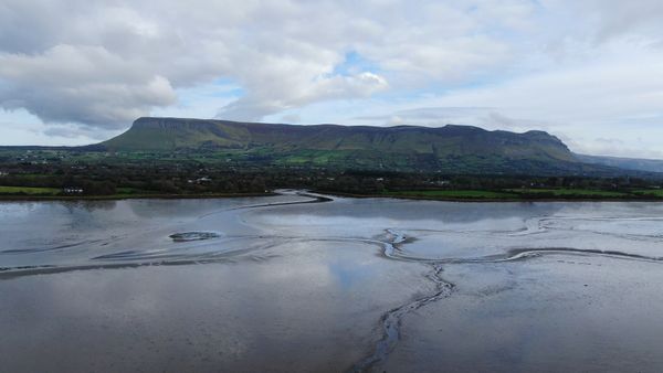
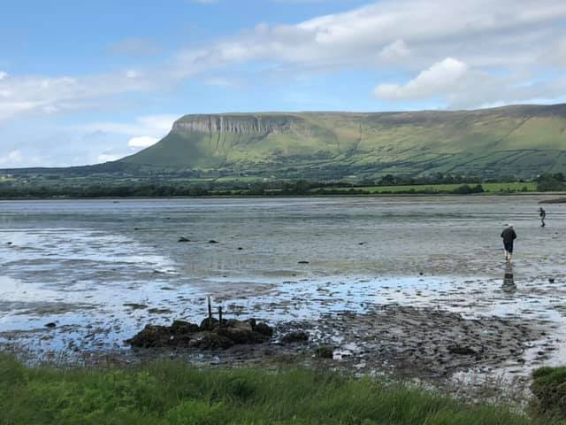
A fearsat, ford or strand pass, is a manmade route across a body of water easily passable at low tide. These causeways, also referred to as toghers, were constructed by overlaying branches, bushes, stones, seaweed, and wood to create a raised causeway, or togher. these were in use from ancient times up to the 19th/early 20th centuries. There were several such mapped routes across Drumcliffe Estuary facilitating north-south travel in earlier times when land routes were at times less accessible.
The roadway here marks the location of an ancient causeway (togher in Irish) across Drumcliffe Bay that was for centuries a traditional and strategic crossing point on the Sligo-Donegal route. Just off the southern shoreline to the west of the roadway is the Holy Well of St. Colmcille, one of many in the local area. This one is unique in that is located on the seabed and only exposed at lowtide. Each 9th of June, St Colmcille’s feastday, the well is visited by the faithful when its waters are taken as a cure for a range of ailments.
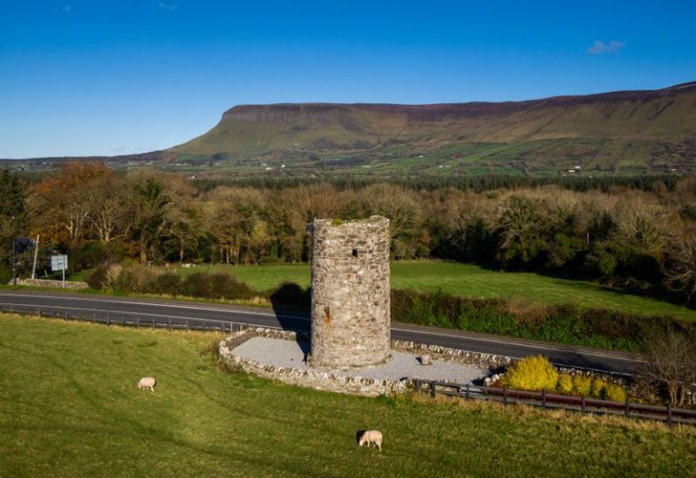
Fearsat were often used by armies on the march seeking the shortest route between locations and for this reason history records that battles, such at the Battle of the Books, often occurred in their vicinity. Today, there are no visual remains of Drumcliffe’s fearsat other than the laneways at Dooneirin and Coolbeg leading to the estuary shoreline.
A fearsat or strand pass located nearby allowed access across Drumcliffe Estuary to the opposite Doonierin shore at low tide. In existence here for centuries, before the advent of roads and bridges,fearsats were used by armies on the march who usually sought the shortest route across Sligo Bay. A fearsats was built by overlaying bushes, stones, seaweed and wood to create a raised causeway. Coolbeg was also the site of a castle, of which nothing remains.