As part of our Tidy Towns Wildlife Education programme, local resident and environmentalist Barbara McInerney presented a Bat Talk/Walk to which 104 persons attended. This event followed Barbara’s work with local scouts and residents in building and erecting bat boxes throughout the twin village areas (note bat boxes in trees outside Rathcormac church).
Similar Posts
Drumcliffe Fearsat
A fearsat, ford or strand pass, is a manmade route across a body of water easily passable at low tide. These causeways, also referred to as toghers, were constructed by overlaying branches, bushes, stones, seaweed, and wood to create a raised causeway, or togher. these were in use from ancient times up to the 19th/early 20th…
Drumcliffe Rathcormac Spring Clean
Beginning in 2006 as the Kintogher Spring Clean event, this annual community event now encompasses both Drumcliffe and Rathcormac village areas and their wider environs. Each April, the now Drumcliffe Rathcormac Spring Clean event sees approximatley 300 local residents, school children, and Scouts taking part in cleaning several kilometres of national, regional and local roads…
Local Wildlife
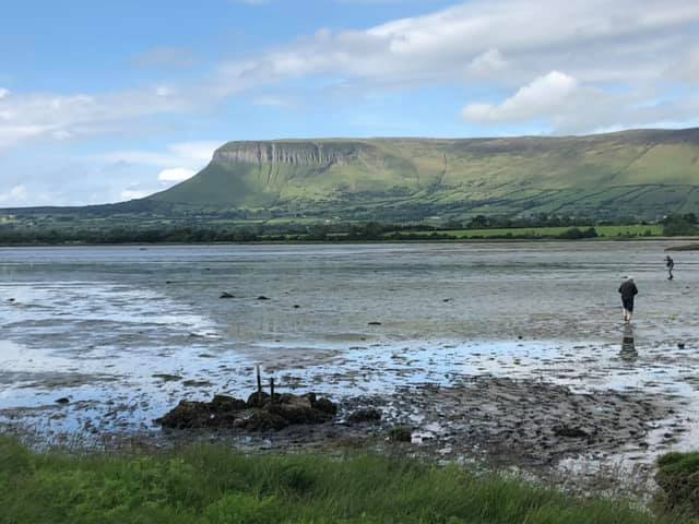
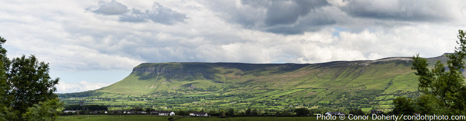
A Brief Snapshot of Rathcormac and its EnvironmentBy Dr. Don Cotton GeologyBenbulben and King’s Mountain – Carboniferous limestone cliffs with some sandstone capping (c.320 million years old). The whole area of lowland Rathcormack is underlain by Carboniferous limestone. GeomorphologyLimestone can have caves and underground waters. The Drum road is a dry valley (no surface water…